Knowledge Base
What is Survey Control in 3D Laser Scanning?
Survey control in 3D laser scanning is the use of accurately positioned reference points, marked with reference targets, positioning targets, or scanning targets to ensure that the LiDAR scanned data aligns precisely within a spatial coordinate system. These control points are determined using traditional surveying techniques, for example GPS or total stations, and serve as fixed anchors for aligning, registering, and geo-referencing the 3D laser scans across large or complex areas. Tying the laser scan data to these known survey control points improves the accuracy and consistency of the 3D BIM models and 2D CAD drawings required for the project.
There are many different types of surveys that can be performed for real estate developments and construction projects. A survey may involve finding the existing dimensions of the building, marking underground utility locations, or locating property boundaries. Each type of survey requires a very different type of professional. If a project utilizes survey control, then all those surveys can be coordinated into a unified digital environment that references real-world locations.

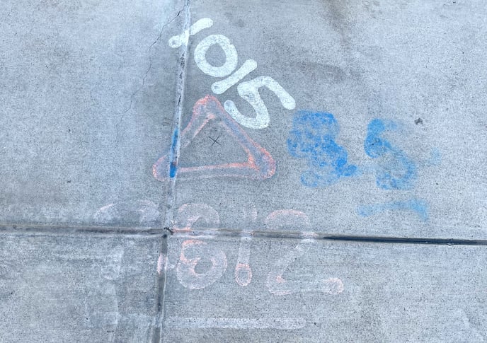
Sometimes the survey control provided is localized to a specific project and other times it is tied to pre-established systems like a state planes coordinate system. Both methods involve marking various points on-site utilizing fixed elements like survey nails, cuts in masonry, checkerboard targets, etc., and then measuring the X, Y and Z values of those points. These points are called control points and are usually placed throughout the common areas of a project like up stairwells and through hallways. Usually, 3-4 control points are needed in order to properly align a project to the real-world coordinates collected on-site, however, having multiple control points located throughout a building, or at crucial measurement points, helps ensure a higher level of accuracy.
When using localized control, a special type of control point is chosen, called a basepoint, which establishes the origin of the X, Y and Z values (i.e. 0,0,0). Then all other control point locations are referenced from that basepoint.
Benchmarks are another type of control point that is utilized by land surveyors. These points are used as a single reference point from which to measure multiple other points. Projects can have more than one benchmark.
Who needs survey control?
The following lists some of the projects where survey controls may be required:
- Projects that span over large areas, or long tunnels
- Projects that involve multiple trades working together between different software
- Projects that need property line or legal boundary information
- Projects that require a high degree of vertical accuracy
Not every project needs survey control. A 3D laser scan of a building employs localized control by default and gives a spatial awareness of all visible and accessible elements of a building and surrounding property. This is all the information most projects may need for an existing conditions survey.
Who creates survey control?
Land survey professionals are required to establish a survey control for a project. This is the first stage in a project that requires survey control. Once the survey control has been set, then all other surveys can commence and tie into those pre-established control points.
On projects that don't require survey control, localized control may be utilized by our teams in order to aid in the collection of 3D laser scan data. This type of survey control typically utilizes checkerboard targets throughout the stairs and common areas of a project.
When does survey control need to be established?
Survey control needs to be established at the start of a project before any 3D laser scanning is performed by our teams. This ensures that we can tie in the data we have collected on-site to the real-world coordinates of the project.
If a project has been scanned before survey control was established, it adds a lot more complications and time. In this situation, all is not lost, there are several ways we can move forward:
- Re-scan point locations after the survey control has been performed and tie the new data into the existing set of data. This gives a higher degree of accuracy for the project but takes more time and an additional site visit.
- Utilize an existing CAD site plan to manually align and acquire coordinates for the project inside Autodesk Revit. This is a lower degree of accuracy but may provide a solution for some projects.
Not sure if you need survey control?
Reach out to our team of experts to find out if you need survey control on your project. Our trained professionals can help answer your questions and get you the information you need to make your project successful.
Existing Conditions 3D Laser Scanning Services
Over the past 27 years, we have measured, documented, and modeled over 10,000 buildings spanning over 700 million square feet across the United States, establishing ourselves as an industry leader in 3D laser scanning. Architects, builders, engineers, developers, facility managers, trust us to deliver digital representations of the as-built environment with unparalleled accuracy and efficiency. Our dedicated Project Managers provide fast and accurate 3D laser scanning services and drone imagery services, and expert CAD and BIM technicians create custom, detailed deliverables. Our greatest reward remains delivering superior-quality scan-to-BIM work and knowing we played a vital role in our clients’ unique and historic projects.
Related Articles


.svg)


