

Knowledge Base
BIM Building Information Modeling
Building information modeling (BIM) is a process supported by various tools, technologies, and contracts involving the generation and management of digital representations of physical and functional characteristics of places.
Building information models (BIMs) are computer files (often but not always in proprietary formats and containing proprietary data) which can be extracted, exchanged or networked to support decision-making regarding a built asset. The process for scanning and modeling is largely the same regardless of the size of the project.
Who Uses BIM?
BIM software is commonly utilized by architects, builders, engineers, developers, and facility managers, and many other businesses and government agencies. It's used for planning, design, construction, operations, and maintenance of not only buildings, but other diverse infrastructures including water, refuse, electricity, gas, communication utilities, roads, railways, bridges, ports, and tunnels.
Standards and Adoption of BIM
BIM has been in development since the 1970s, but beginning in the early 2000s, it has become a more widely agreed upon term. BIM standards and adoption has progressed at different rates around the world. The standards developed in the UK beginning in 2007 have formed the basis of international standard ISO 19650, launched in January 2019.
An Infinite Database
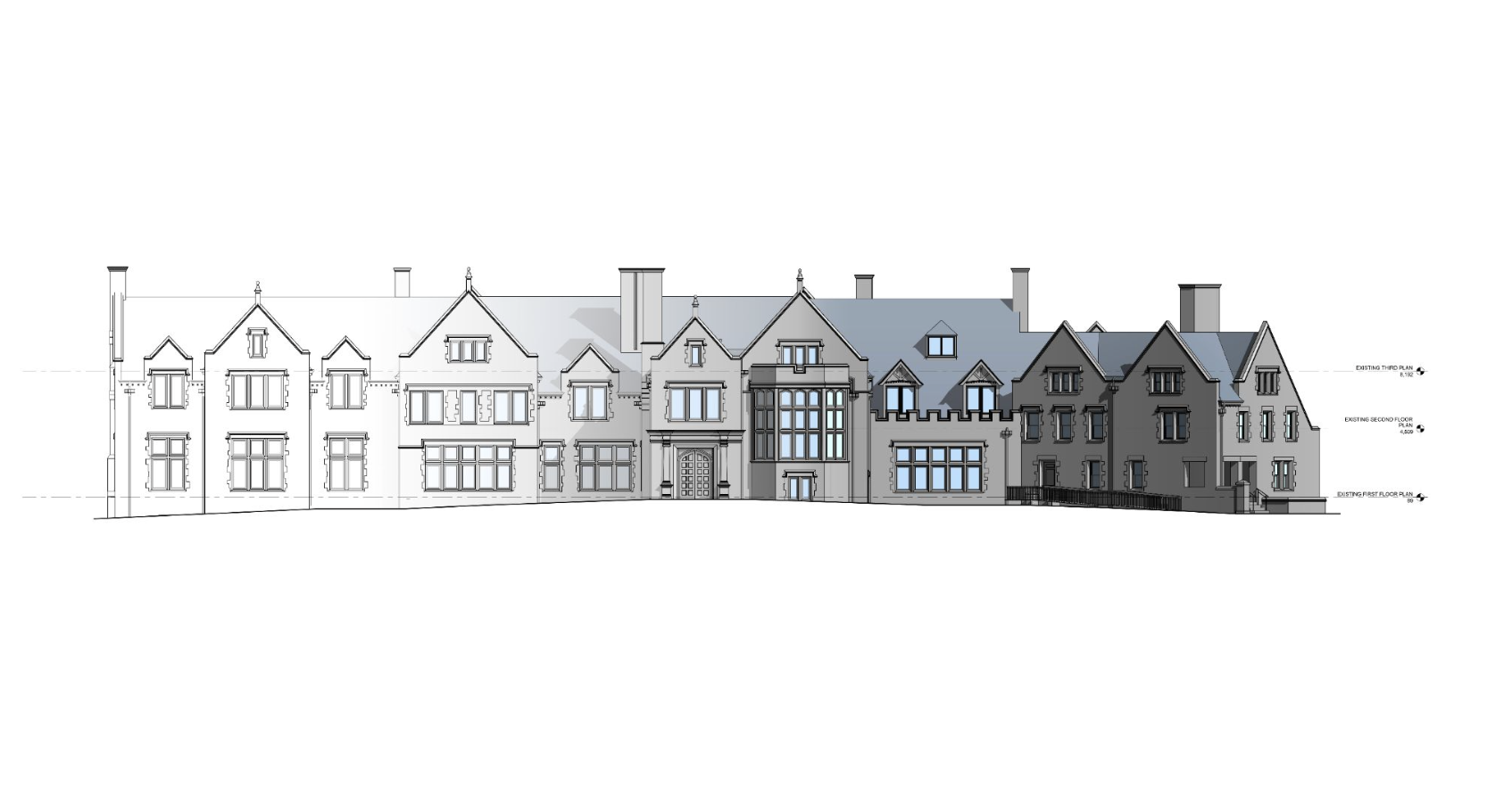
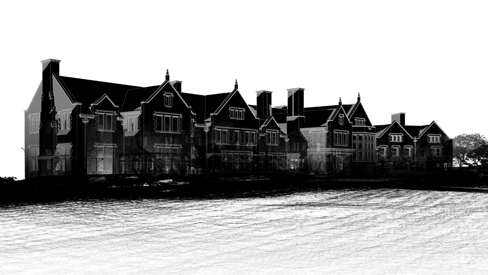
BIM has an infinite database that is part of the 3D model and items can be adjusted in 2D CAD plan, section, elevation or in schedules and it updates the rest of the model accordingly. Conveniently, this means a full scan gives you the ability to add additional scope to the deliverables without additional site visits.
Existing Conditions 3D Laser Scanning Services
Over the past 27 years, we have measured, documented, and modeled over 10,000 buildings spanning over 700 million square feet across the United States, establishing ourselves as an industry leader in 3D laser scanning. Architects, builders, engineers, developers, and facility managers, trust us to deliver digital representations of the as-built environment with unparalleled accuracy and efficiency. Our dedicated Project Managers provide fast and accurate 3D laser scanning services and drone imagery services, and expert CAD and BIM technicians create custom, detailed deliverables. Our greatest reward remains delivering superior-quality scan-to-BIM work and knowing we played a vital role in our clients’ unique and historic projects.
Related Articles


