Knowledge Base
"Laser Scanning" vs. "Land Surveying"
Laser scanning uses LiDAR (light detection and ranging) to measure and record precise locations and distances, ultimately producing a point cloud file. Land surveying is the process of measuring and mapping the Earth's surface to determine the positions of points and the distances and angles between them.
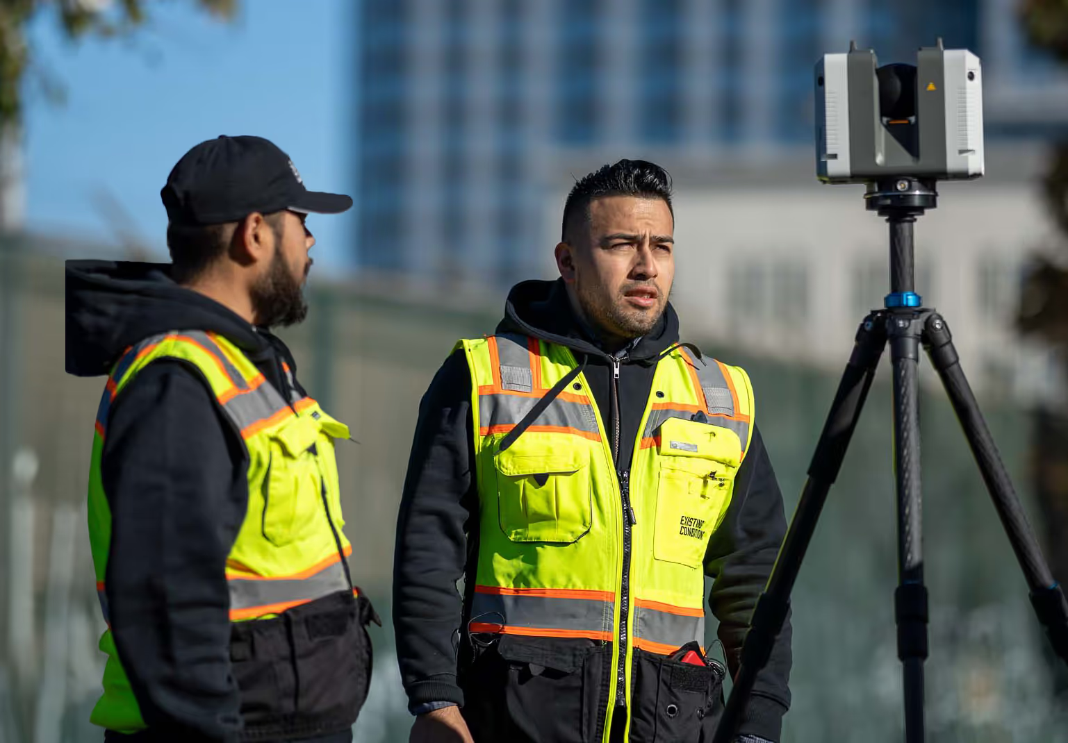
When you hire Existing Conditions, our work typically consists of delivering 3D laser scanning data and building information models. 3D laser scanning is a non-contact, non-destructive technology that digitally captures spatial data on the physical environment using a line of laser light. Three-dimensional laser scanners create “point clouds” of data from the surface of an object. The spatial data typically includes everything visible and accessible at the time of survey, including not only architectural and built elements but also environmental context and other physical objects. Existing Conditions focuses on the production of as-built surveys of buildings, despite the fact that the tools we use have an inherent flexibility.


In comparison, land surveying is the technique and profession of determining the three-dimensional terrestrial positions of points and the distances and angles between them. A land surveying professional is called a land surveyor. The coordinates that a land surveyor notes are often used to establish maps and boundaries for ownership, the surface location of subsurface features, or other purposes required by law, such as property sales.
The planning and execution of many forms of construction require land surveying. It is also used in transport, communications, mapping, and the definition of legal boundaries for land ownership.
3D Laser Scanning: 3D laser scanning is a cutting-edge technology that operates on the principles of non-contact and non-destructive data collection. It utilizes a laser scanner to digitally capture precise spatial data by projecting a line of laser light onto surfaces. The result is the creation of intricate "point clouds" that represent the surface features of objects or environments in three dimensions. This technology is invaluable for architectural, engineering, and construction purposes, providing highly accurate data for building documentation.
Land Surveying: Land surveying is a well-established profession and technique that focuses on determining the three-dimensional positions of terrestrial points, along with measuring distances and angles between them. Professionals in this field, known as land surveyors, play a crucial role in establishing property boundaries, creating maps, and identifying subsurface features. Land surveying has a wide range of applications, from property sales to infrastructure planning and legal requirements.
Key Differences:
- Technology: 3D laser scanning relies on advanced laser technology to capture data rapidly without direct physical contact, while land surveying employs traditional instruments like theodolites and total stations.
- Data Output: 3D laser scanning produces detailed point clouds, ideal for creating precise 3D models. Land surveying provides coordinate data used for mapping, property boundaries, and legal purposes.
- Applications: Laser scanning is primarily used in architecture, engineering, and construction for as-built documentation. Land surveying has broader applications, including property division, infrastructure development, and legal boundary establishment.
At Existing Conditions, we specialize in 3D laser scanning and scan-to-BIM services, offering our expertise to clients seeking accurate and comprehensive building documentation. While we do not provide land surveying services, we are well-connected within the industry and can refer you to qualified professionals when needed.
Related Articles

.svg)


