Knowledge Base
Compatible Software for Point Cloud Data
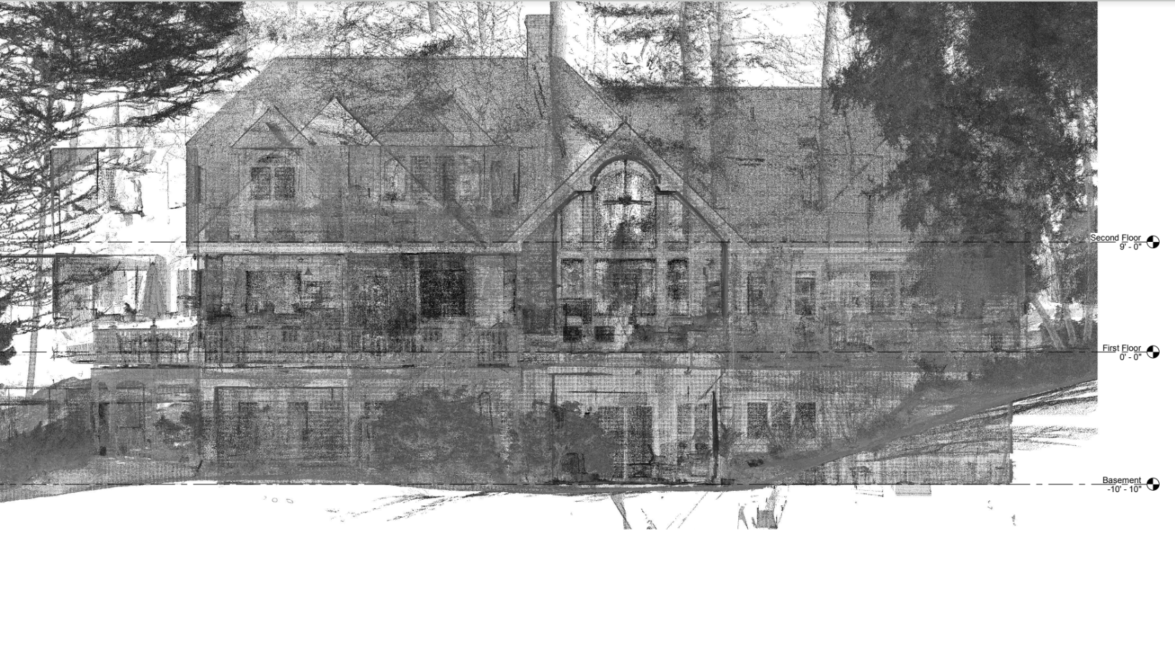
Point cloud data is a versatile resource that can be effectively integrated into various software applications to serve different purposes. Here are some notable software options that are compatible with point cloud data:
AutoCAD
AutoCAD is a powerful software application developed by Autodesk for computer-aided design and drafting. It offers a wide range of functionalities, including the creation of building blueprints and detailed drawings. AutoCAD's compatibility with point cloud data makes it an invaluable tool for architects, engineers, and designers who need to incorporate precise measurements and real-world data into their designs.
Revit
Revit, also developed by Autodesk, is a comprehensive Building Information Modeling (BIM) software. With Revit, users can design buildings, structures, and building components in 3D, while also annotating the model with 2D drafting elements. Point cloud data integration enhances Revit's capabilities, allowing for more accurate and efficient modeling, visualization, and collaboration in the construction industry.

TruView/Jetstream
TruView, formerly known as Jetstream, is a software tool offered by Leica that specializes in working with 3D laser scanning data. It stands out for its ability to streamline the process of handling point cloud data and compressing it with minimal data loss. TruView/Jetstream facilitates efficient data management and analysis, making it a valuable asset for professionals dealing with large volumes of point cloud data.
Scene LT
Scene LT is a user-friendly, free point cloud data viewing software provided by FARO. Specifically designed for viewing FARO laser scanner scan data, it simplifies the sharing and viewing of point cloud data among project collaborators. Scene LT offers accessibility and ease of use, making it a practical choice for those working with FARO scanners.
Other Compatible Software
In addition to the mentioned software, point cloud data can be used effectively with other applications such as Vectorworks, Tekla, and ArchiCAD. These software options cater to specific industries and purposes, offering flexibility for professionals across various fields.
Explore Hardware Requirements
If you are interested in viewing point cloud data and want to understand the hardware requirements for a smooth experience, we provide detailed information on the topic.
Related Articles

.svg)


