

Knowledge Base
Downloading 3D Laser Scanning Project Files
Download One File At A Time
Depending on the scale of the project, point cloud data can range in size from one gigabyte (GB) to multiple terabytes (TB, approx. 1000 GB) in size. Do not try to download multiple files at one time or download a folder filled with files. This will start a zipping process on Google Drive that will likely cause the download to fail.
The best method is to download one file at a time until all the files you need are downloading. Multiple downloads of individual files may be run simultaneously.
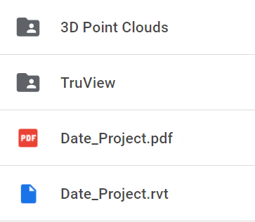
Which data do I need?
To use point clouds in Revit or AutoCAD, you will need to download the files found in the 3D Point Clouds folder. These will be RCS files that can be used by Autodesk products. Click here for tips on Working with point cloud data.
For viewing the first-person 360 panoramic images, you will need to download the files located in the TruView (aka Jetstream) or Scene Scan Data folders. You will also need to download either the TruView/Jetstream (for LGS files) or Scene LT (for FWS files, usually zipped) software for opening these files. These programs are available for free.
Where should I save the downloads?
The local machine is the best place to store point cloud data, however one must ensure there is enough room to handle the file sizes before downloading. All point cloud data is very large and usually runs from 2GB up to 70GB, and sometimes more.
Point cloud data can be stored on your servers, but the RCS files for use in Revit or AutoCAD should be located on the local machine in order to allow the Autodesk software to more quickly refresh views.
Can my computer handle these files?
Please note that neither viewing software can run on a Mac. In order to run Scene LT you will need to have a dedicated video card (which is not typical for most laptops). The point cloud files should be saved on a solid state hard drive (SSD) on individual machines.
Alternatively, Existing Conditions' Virtual Site Visits platform is an easy and low cost way to access spatial data of your building or project, regardless of your operating system or hardware. You can use the platform on any desktop, tablet, or mobile device – all you need is an internet connection.
Contact us today for assistance downloading 3D laser scanning project files.
Existing Conditions 3D Laser Scanning Services
Over the past 27 years, we have measured, documented, and modeled over 10,000 buildings spanning over 700 million square feet across the United States, establishing ourselves as an industry leader in 3D laser scanning. Architects, builders, engineers, developers, and facility managers, trust us to deliver digital representations of the as-built environment with unparalleled accuracy and efficiency. Our dedicated Project Managers provide fast and accurate 3D laser scanning services and drone imagery services, and expert CAD and BIM technicians create custom, detailed deliverables. Our greatest reward remains delivering superior-quality scan-to-BIM work and knowing we played a vital role in our clients’ unique and historic projects.
Related Articles


