Knowledge Base
What is the Accuracy of 3D Laser Scanning?
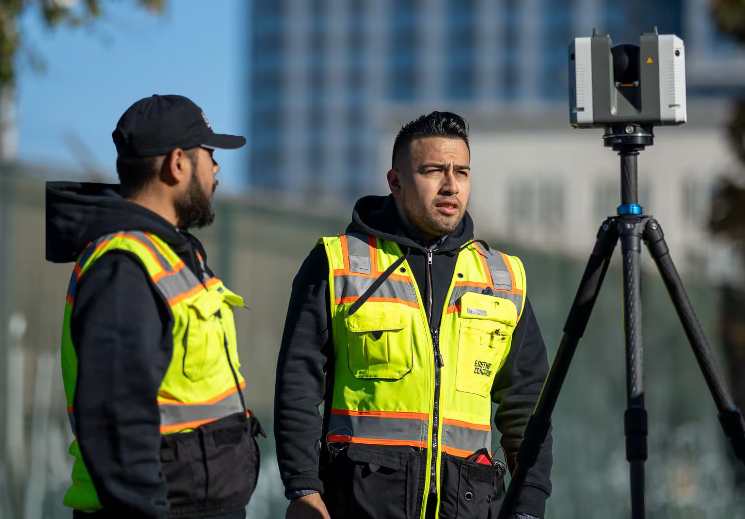
Laser scanning accuracy is a critical factor in construction-grade laser scanning technology. Ensuring the highest level of precision is essential for reliable data capture. At Existing Conditions, we utilize advanced laser scanning equipment from reputable manufacturers such as Leica, NavVis, and FARO 3D to achieve the highest level of accuracy.
How accurate is our 3D laser scanning technology?
Consider the Leica RTC 360 as an example. This scanner offers impressive specifications:
Angular Accuracy:
The Leica RTC 360 provides an angular accuracy of 18 inches, ensuring precise data collection.
Range Accuracy:
With a range accuracy of 1.0 mm and an additional 10 parts per million (ppm), it delivers accurate distance measurements.
3D Point Accuracy:
This scanner achieves precision with 3D point accuracy of 1.9 mm at 10 meters, 2.9 mm at 20 meters, and 5.3 mm at 40 meters.
High-Quality Scans:
The Leica RTC 360 captures data with low noise, resulting in detailed, high-quality scans suitable for various applications.
Rapid Data Capture:
With a measuring rate of up to 2 million points per second and an advanced High Dynamic Range (HDR) imaging system, it efficiently captures data.
Swift 3D Point Cloud Creation:
Notably, the Leica RTC 360 can generate colored 3D point clouds in less than 2 minutes, facilitating quick data visualization.
These specifications highlight the scanner's capabilities in providing precise data for a range of applications. While our focus is on delivering accurate information, we recognize the importance of objective data to meet project requirements.
%2520(1).avif)
Existing Conditions 3D Laser Scanning Services
Over the past 27 years, we have measured, documented, and modeled over 10,000 buildings spanning over 700 million square feet across the United States, establishing ourselves as an industry leader in 3D laser scanning. Architects, builders, engineers, developers, facility managers, trust us to deliver digital representations of the as-built environment with unparalleled accuracy and efficiency. Our dedicated Project Managers provide fast and accurate 3D laser scanning services and drone imagery services, and expert CAD and BIM technicians create custom, detailed deliverables. Our greatest reward remains delivering superior-quality scan-to-BIM work and knowing we played a vital role in our clients’ unique and historic projects.
Related Articles


.svg)


