Why & How to Use TruView in Architecture & Engineering
.avif)
A TruView file provides architects, engineers, and other design professionals an accessible way to share and visualize point clouds, design models, annotations, and more.
What is a TruView?
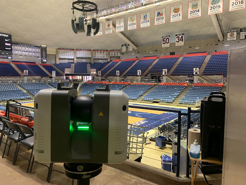
TruView functions as a 3D panoramic image that overlays point cloud data, offering a virtual “street view” from each scanner’s position. Created during the 3D laser scanning process, TruViews capture both the point cloud and a detailed visual of each setup location. These files are organized into sitemaps, allowing users to explore the scanned environment with intuitive tools for measurement and markup.

Who Uses TruView?
TruView has been widely adopted by construction professionals, designers, engineers, and architects because it simplifies communication. It enables teams to share point cloud data, add mark-ups, take basic dimensions, estimate clearances, and print or convert data. This is particularly useful for team members who haven’t visited the site, as they can view detailed images of specific areas with minimal technical expertise.

TruView Viewers and Their Capabilities
TruView files can be accessed through three main viewers:
- Leica TruView Viewer:
- A free software solution that allows users to view point cloud data in the LGS format, along with other 3D model files
- Available through the Leica Cyclone Cloud portal, it supports sharing, measurement, and annotation functionalities
- Autodesk TruView Viewer:
- Designed for viewing AutoCAD and DWG files directly in a browser without needing to download additional software
- Facilitates inspection, screenshots for presentations, and sharing via a simple URL link
- Autodesk DWG Viewer:
- A stand-alone, free DWG viewer that supports the latest DWG, DWF, and DXF file formats
- Ideal for users who only need to view, convert, or export DWG files without the need for advanced design tools
Each viewer offers unique features for accessing and interacting with your data.

Key Benefits of TruView
- User-Friendly Interface: No CAD or 3D modeling skills are required
- Virtual Site Visits: View project sites as if you were there, directly from your computer
- Simplified Collaboration: Share point cloud data, create annotations, and communicate seamlessly with project stakeholders
- Measurement and Visualization: Measure dimensions, estimate clearances, and visualize design models in context
Opening and Using TruView Files
Opening a TruView file is straightforward:
- Open the TruView sitemap in your browser
- Click on the yellow triangle icons that mark each scanner location. These icons serve as hyperlinks into the TruView 3D space
- Once inside, navigate the point cloud data, take measurements, annotate, and move between locations
Tools Available in the TruView Viewer
- Measure Tab: View properties of measurements taken and set measurement units
- Markup Tab: Display information about markups and import/export markup.xml files
- View Tab: Create and save specific viewpoints for future reference

TruView provides an accessible, no-cost solution that empowers architects, engineers, and construction professionals to view, share, and explore reality-capture data. It simplifies IT issues and eliminates the need for advanced CAD or 3D skills, making it an ideal choice for viewing real-world conditions and collaborating on projects. For more complex design needs, consider integrating with software like AutoCAD, which offers a comprehensive suite of design tools but comes at a higher cost and complexity, and when you hire Existing Conditions, now a GPRS company, your TruViews, CAD files, BIM models, and other objects can be delivered seamlessly via SiteMap®, GPRS’ proprietary data, GIS, and project management application that makes your data secure, shareable, and available 24/7 via the SiteMap mobile app.
Contact Existing Conditions when you need an expert in accurate 3D data capture for your project.
Existing Conditions 3D Laser Scanning Services
Over the past 27 years, we have measured, documented, and modeled over 10,000 buildings spanning over 700 million square feet across the United States, establishing ourselves as an industry leader in 3D laser scanning. Architects, builders, engineers, developers, facility managers, trust us to deliver digital representations of the as-built environment with unparalleled accuracy and efficiency. Our dedicated Project Managers provide fast and accurate 3D laser scanning services and drone imagery services, and expert CAD and BIM technicians create custom, detailed deliverables. Our greatest reward remains delivering superior-quality scan-to-BIM work and knowing we played a vital role in our clients’ unique and historic projects.


