Old High Middle School Students Explore Reality Capture Technology
.webp)
.webp)
The original sections of Old High Middle School in Bentonville, Arkansas, lacked accurate as-built documentation, as the school first opened in 1928. Capturing precise building data is the critical first step in the renovation process. Existing Conditions was selected to 3D laser scan approximately 40,000 square feet of the school.
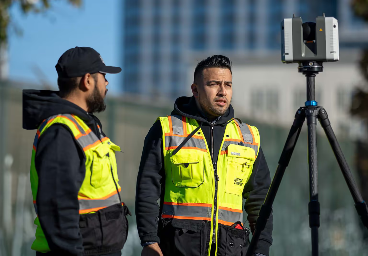
Recently, both the The Bentonville Bulletin and MSN highlighted an exciting educational opportunity we provided when Project Managers Kelvin Jolalpa and Wesley Imboden introduced Old High Middle School students to the world of 3D laser scanning while they were on site. Through a hands-on demonstration utilizing the Leica RTC360, students saw firsthand how reality capture technology plays a crucial role in the renovation process.
"The presentation went extremely well, and I’m grateful to have been part of this opportunity," said Jolalpa.
By bridging the gap between the classroom and real-world applications, GPRS and Existing Conditions are inspiring students with cutting-edge LiDAR-based scanners.
Read the full story on The Bentonville Bulletin here.
Read the full story on MSN here.


