Read Our New Guide: Updated 3D Scanning Data For Accurate Building Documentation
.avif)
Read Our New Guide: Updated 3D Scanning Data For Accurate Building Documentation
Accurate building documentation relies on technology and expertise. Our New Year, New Tools guide examines how Existing Conditions leverages reality capture technology to provide accurate as-built building documentation. With 27 years of industry-leading experience, we’re excited to showcase the new tools that help us deliver the accurate 3D laser scan data, as-built drawings and drone surveys we’re known for industry-wide.
Whether your project is new commercial construction or a New York exterior facade survey, trust the experts at Existing Conditions to provide you with situational awareness to make smart decisions based on accurate data. Accurate as-built building documentation gives you peace of mind while reducing risk.
The information captured by terrestrial 3D laser scanners, by aerial drones, and by the NavVis VLX mobile mapping system is richer and more accurate than any other method in the industry. This info-rich, accurate data gives you unprecedented situational awareness of your design project – your most valuable asset.
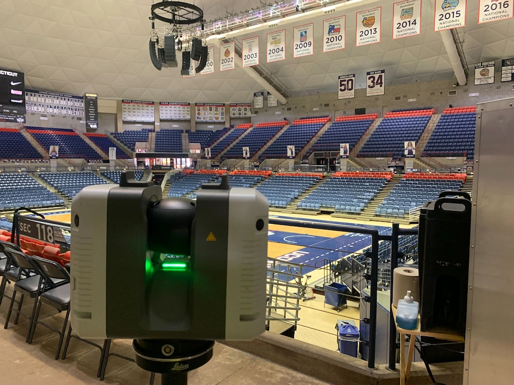
Our recently published guide, New Year, New Tools, will explore how we leverage the power of 3D laser scanners like the NavVis VLX, Leica RTC360, and Leica P50 for your benefit.
Read the guide to learn about:
- New Tools and Services from Existing Conditions
- Common Use Cases
From verification of actual tenant square footage to full building renovation, find out for yourself why the best architects, and building owners trust Existing Conditions so they can start accurate and stay accurate on their projects.
Leverage our experience, equipment, and expertise. Trust the experts at Existing Conditions. Let us be your eyes in the field so you can devote your time to what you do best.
Existing Conditions 3D Laser Scanning Services
Over the past 27 years, we have measured, documented, and modeled over 10,000 buildings spanning over 700 million square feet across the United States, establishing ourselves as an industry leader in 3D laser scanning. Architects, builders, engineers, developers, facility managers, trust us to deliver digital representations of the as-built environment with unparalleled accuracy and efficiency. Our dedicated Project Managers provide fast and accurate 3D laser scanning services and drone imagery services, and expert CAD and BIM technicians create custom, detailed deliverables. Our greatest reward remains delivering superior-quality scan-to-BIM work and knowing we played a vital role in our clients’ unique and historic projects.
FAQs
How Does Laser Scanning Work?
.svg)
One primary method is that a laser scanner sends light pulses at high speeds which reflect off objects and return to the scanners’ sensor. For each pulse, the distance between the scanner and object is measured by determining the elapsed time between the sent and received pulses. Each point of the scan will be converted to a pixel with a known x-, y-, and z- coordinate. Laser scans or LiDAR scans are taken in multiple positions around a site from varying viewpoints. Millions of data points are captured and processed into a point cloud, creating an accurate data set of the structure or site.
How is CAD different from BIM?
.svg)
CAD is technology and software designed to produce precise technical drawings —replacing manual hand-drawn and drafting techniques with a digital process. CAD is used in many fields, including architecture and engineering, to create accurate and efficient representations of sites.
BIM, or Building Information Modeling, is a process of visualizing a digital representation of a physical asset via the 3D model and includes richer levels of data, including information on materials and equipment. Architects, engineers, and construction managers can track and monitor a building through its entire lifecycle, from initial design to construction, operations, and maintenance. Project teams can collaborate, share information, and monitor project costs using BIM.
What is a Drone Survey?
.svg)
A drone survey, also known as aerial surveying or drone mapping, is the use of an unmanned aerial vehicle (UAV) to collect data from the air to create maps and models. Drones are equipped with cameras and sensors to capture high-resolution images and other data. The data is then processed to create detailed maps and models of the area being surveyed.


