The What, Why, and How of As-Built Drawings

The What, Why, and How of As-Built Drawings
A single asset can make a massive difference in your construction projects: as-built drawings. From planning to execution, these drawings — when accurate — provide the type of starting point that will create confidence in your final product, adding value to your projects and reducing unnecessary risk for your team.
With accurate drawings of your building, you can make smart decisions on-site. Whether you’re an architect, engineer, designer, general contractor, facility manager, or real estate developer, you can feel assured that you are making decisions based on situational awareness of your project. As-built drawings can serve as one of your biggest assets.
The quality of a set of as-built drawings relies on its accuracy. The documents must not only reflect any changes realized throughout the building process but need to fully represent what now exists as a result. Creating these as-built drawings can be costly and time-consuming without the right technology and help from experts.
What are as-built drawings?
"As-Builts" are a highly detailed set of measured drawings of a building. Size, shape, dimensions, and locations are all elements of the built environment, and are identified in an as-built drawing.
Accurate as-built's serve as an accurate point of departure for all the project's stakeholders. Final as-built drawings will incorporate modifications, field changes, design changes, and any alterations that occurred in the construction process. They can even offer a compare-and-contrast view between the designed building and the final blueprint.
As a result, as-built's have several important uses, like helping architects or construction managers understand the step-by-step evolution of their work. Post-construction, facilities teams who manage the building can solve issues faster. Planning and renovation require less upfront expense since everyone is working from the same set of real-time data.
Why do you need accurate as-built drawings?
Knowing the exact dimensions and characteristics of a space is a "must-have" in any construction or development project. Without an accurate starting point, it's nearly impossible for teams to effectively manage the uncertainties that come with construction.
Consider an existing structure with four walls. While it may seem easy enough to measure manually with a tape measure, that approach results in a small, but meaningful, margin of error. If one were to apply that approach not just to a room but to an entire building, the results would be unacceptable.
However, with 3D laser scanning, the measurement process is not only much faster, but it’s also exact with virtually no human error. You can start accurate and stay accurate. Instead of using hand-measured drawings, today's best as-built's benefit from the ability to generate millions of measurements per second in three-dimensional space using 3D laser scanning.
Thanks to 3D laser scan technology, it’s easier than ever to ensure that:
- The drawings are created with digital measurement, eliminating human error and promoting accuracy
- As-built drawings are available and accessible to any stakeholder who might need them
- The drawings are easy to access from anywhere, including job sites, by utilizing the cloud
- Each as-built is a living document that can be updated as needed
For the architects and designers who are often tasked with creating these as-built drawings, using the right technology is essential for accuracy. It’s also smarter in the long term: it’s economical, and it ensures your reputation as an accurate, data-driven business with high standards, driving more business. When contractors are given a dependable set of as-built's, they can provide more accurate pricing, cut costs thanks to fewer mistakes, and waste fewer materials.
Unfortunately, today’s as-builts often have missing or inaccurate information. That leads to errors that slow down the building process and reflect poorly on you. These types of drawings might:
- Lack three-dimensional information
- Fail to include photographic documentation
- Only have surface-level data
- Be difficult to update
- Be disorganized
How is an as-built drawing created?
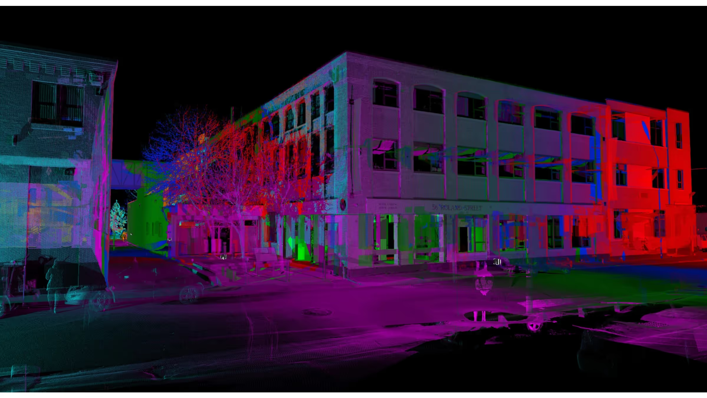
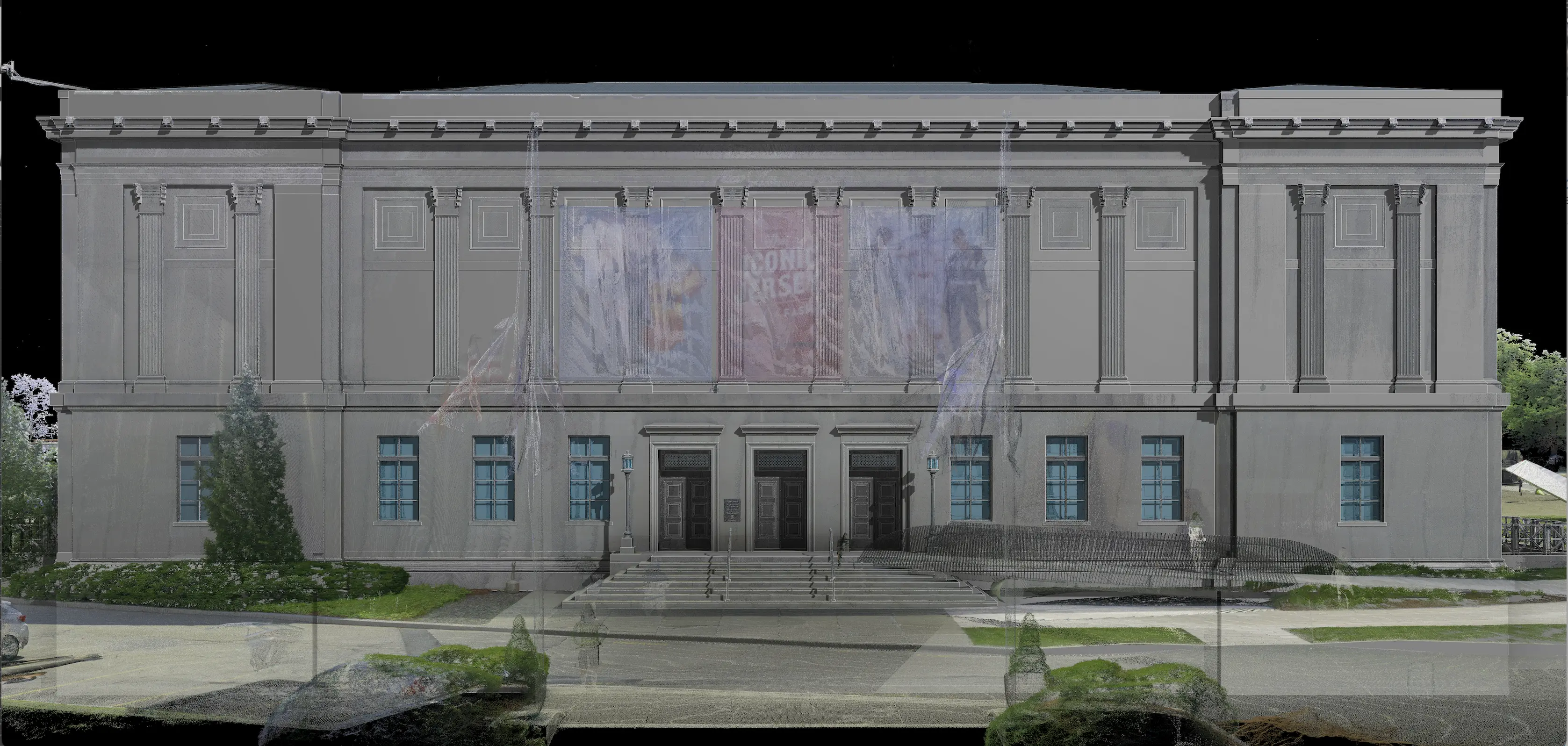
Existing Conditions 3D laser scans your site using LiDAR technology to capture exact building dimensions, locations, and layout. That data is initially captured in the form of a point cloud. The processing team imports the point cloud into CAD software to create customized 2D CAD drawings with great precision.
To set yourself up for success right at the beginning, you must define the required as-built drawings, choose your software, and commit to keeping as-builts updated through the entire construction process. Using the cloud for data capture, storage, editing, and distribution is a great way to ensure these details don’t fall through the cracks. Having phones or tablets on-site helps with photos and notes, which will be essential to view and collaborate on the project.
Is a 3D BIM model an option?
Once you have established the importance of your as-built drawings, and have the information in place, it's important to understand that there are other options for rendering data. 3D laser scan data can also be used to create a Building Information Modeling (BIM), which shows multiple physical and functional characteristics of a property. This format has several important uses. BIM documentation can be used for creating virtual walk-throughs, increasing worksite safety and productivity, improving scheduling and sequencing, model-based cost estimation, clash detection, and accurate square footage calculations.
With these tools in place, and experts to implement them, your as-built drawings will be more accurate, and take less time.
Existing Conditions 3D Laser Scanning Services
Over the past 27 years, we have measured, documented, and modeled over 10,000 buildings spanning over 700 million square feet across the United States, establishing ourselves as an industry leader in 3D laser scanning.
Building professionals trust us to deliver digital representations of the as-built environment with unparalleled accuracy and efficiency. Our dedicated Project Managers provide fast and accurate 3D laser scanning services, and expert CAD and BIM technicians create custom, detailed deliverables. Our greatest reward remains delivering superior-quality scan-to-BIM work and knowing we played a vital role in our clients’ architecture, engineering, construction and real estate projects.
Existing Conditions 3D Laser Scanning Services
Over the past 27 years, we have measured, documented, and modeled over 10,000 buildings spanning over 700 million square feet across the United States, establishing ourselves as an industry leader in 3D laser scanning. Architects, builders, engineers, developers, facility managers, trust us to deliver digital representations of the as-built environment with unparalleled accuracy and efficiency. Our dedicated Project Managers provide fast and accurate 3D laser scanning services and drone imagery services, and expert CAD and BIM technicians create custom, detailed deliverables. Our greatest reward remains delivering superior-quality scan-to-BIM work and knowing we played a vital role in our clients’ unique and historic projects.
FAQs
What is Terrestrial Laser Scanning?
.svg)
Terrestrial laser scanning uses a tripod-based laser scanner to capture highly accurate data on buildings, structures, equipment, utilities, and processes to plan for construction, renovation, and modifications. Terrestrial laser scanning is a non-contact and non-destructive technology that digitally captures the shape of physical objects using laser light. In addition, it can capture digital photos of the same area being scanned, which can be used to create photorealistic 3D models.
What is a Point Cloud?
.svg)
A point cloud is a collection of data points in a 3D coordinate system, where each point represents a specific location on the surface of an object, essentially creating a digital 3D representation of that object; typically generated using a 3D laser scanner or 3D photogrammetry, with each point containing its own X, Y, and Z coordinate.
How Does Scan to BIM Aid Renovations?
.svg)
Scan to BIM plays a critical role in renovations by providing accurate as-built data, point clouds, drawings and models that reflect the current state of a building. This ensures that renovation plans are based on precise data, minimizing the risk of costly errors and ensuring seamless integration with existing structures.


