The Five Most Requested As-Built Drawings for Architects

The Five Most Requested As-Built Drawings for Architects
Existing Conditions provides architects with situational awareness and empower them with the confidence to make smart decisions. Depending on the scope of a project, an architect may request a variety of existing conditions as-built drawings.
When our architecture clients come to us looking for precise existing conditions documentation, we use our advanced laser scanning technology to provide them with what they need. Since 1997, we’ve measured and documented more than 200 million square feet of space.
Today, we’re discussing the most common drawings for architects. But our clients aren’t only architects. We also work with engineers, building owners, and real estate professionals as well. When it is the architects, we’re working with, these are the 5 types of drawings they commonly request.
Floor Plans
Every architectural project needs to begin with an accurate floor plan. This information provides you with the foundation for many of the choices you’ll make going forward on the project. Unlike a floor plan made with manual measurements, our laser scanning technology results in far more accurate and precise information.
An existing conditions floor plan will include interior and exterior walls, windows and doors, and other visible structural elements. When a client needs additional details, we’re happy to include them in the floor plan or create a separate plan with that information.
Roof Plans
Roof plans are required for many as-built plans, and they’re especially common for residential remodeling projects. To start, a roof plan will typically include the outline of the roof overlaid on top of the building perimeter walls. Other roof structural details are usually added, including valleys, hips, ridges, and pitch. In the case of flat commercial roofs, equipment can also be included in the plan.
Exterior Elevations
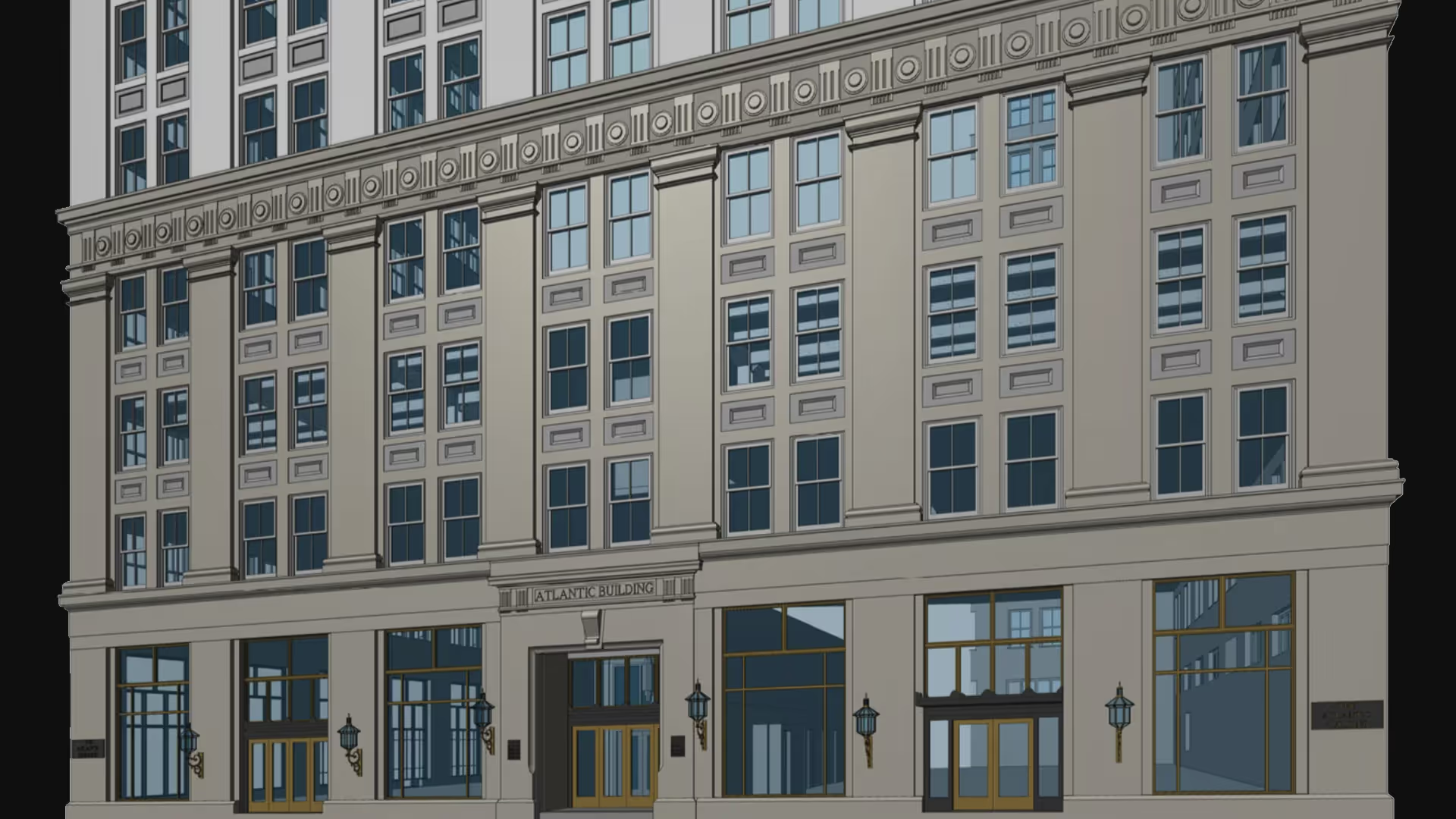
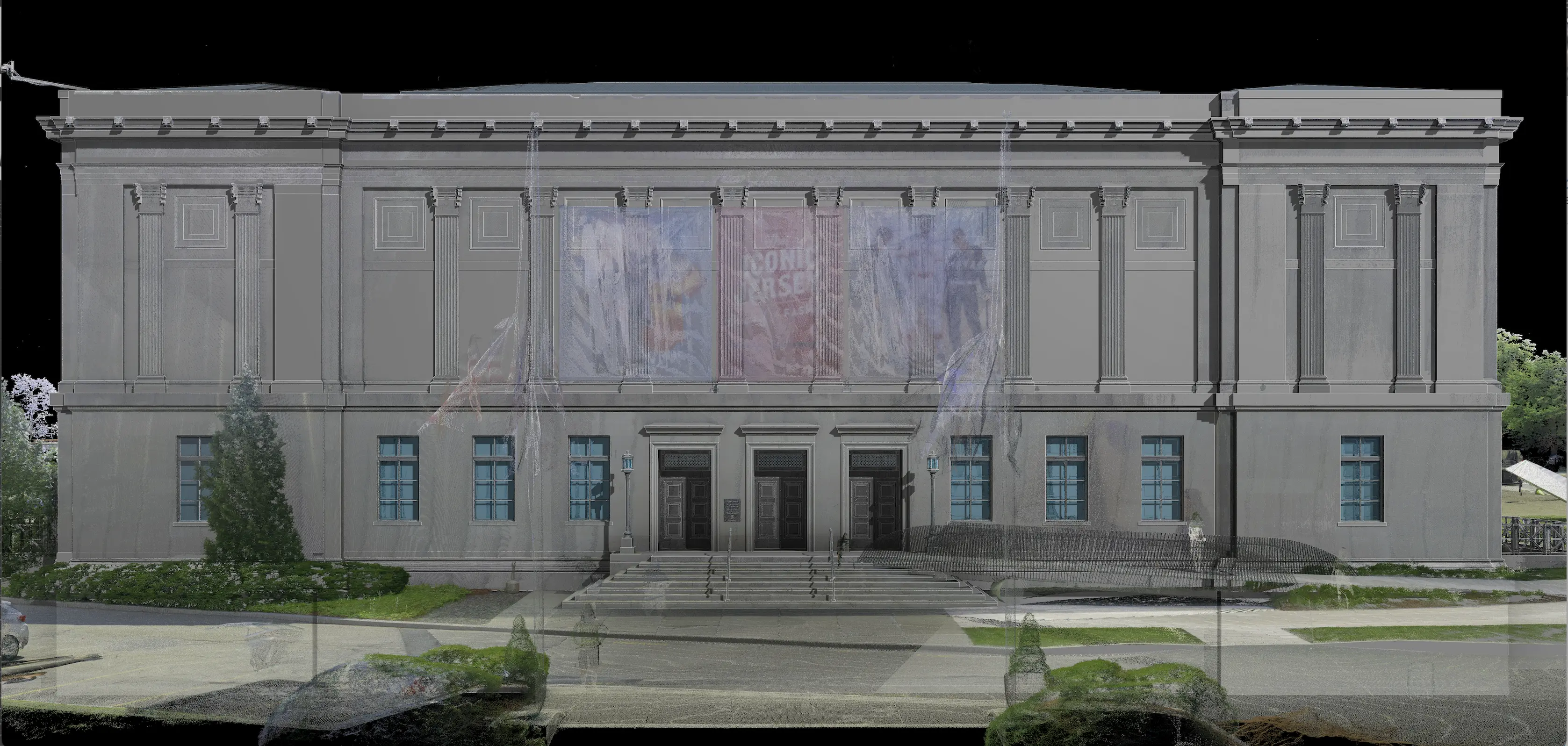
An exterior elevation drawing provides an architect with a visual representation of the building from the side, rather than a bird’s eye view. This includes everything from the ground level to the peak of the structure.
Exterior elevations, roof plans, and floor plans are the three drawings architects request the most, and usually they’re requested together. But there are also a few other existing conditions drawings architects often need for their projects.
Reflected Ceiling Plans
Also referred to as an RCP, a reflected ceiling plan is another type of drawing our architects often request. This drawing includes not only the structure of the ceiling (including trays, soffits, coffers, and exposed beams), but also any attached elements, like sprinklers, vents, and lighting.
MEP/FP Drawings
MEP/FP stands for "mechanical, electrical, plumbing, & fire protection." Not every project requires as-built plans of these critical building systems, but they often prove incredibly useful. MEP/FP plans show any visible mechanical, electrical, plumbing, & fire protection equipment, including HVAC mains, electrical meters & transformers, outlets, panels, data jacks, lights, sprinklers, plumbing mains, and more.
With a precise set of drawings, an architect can see how the building is constructed in reality. And with MEP/FP drawings, they’re also able to see other useful information for their project, including the existing electrical and HVAC components.
On their own, each of these drawings for architects provides precise information about the task at hand. When used together, an architect has an even more comprehensive view of an existing structure. Starting off on the right foot with the most accurate, up-to-date information is essential if you want to avoid headaches down the road.
Existing Conditions 3D Laser Scanning Services
Over the past 27 years, Existing Conditions has measured, documented, and modeled over 10,000 buildings spanning over 700 million square feet across the United States, establishing ourselves as an industry leader in 3D laser scanning. Architects trust us to deliver digital representations of the as-built environment with unparalleled accuracy and efficiency. Our dedicated Project Managers provide fast and accurate 3D laser scanning services and drone imagery services, and expert CAD and BIM technicians create custom, detailed deliverables, including point clouds, 2D CAD drawings, 3D BIM models, 3D mesh models, TruViews, and 3D virtual tours. Our greatest reward remains delivering superior-quality scan-to-BIM work and knowing we played a vital role in our clients’ projects.
To find out more about Existing Conditions' 3D laser scanning and BIM services for architects and other industries, contact us today.
FAQs
How is CAD different from BIM?
.svg)
CAD is technology and software designed to produce precise technical drawings —replacing manual hand-drawn and drafting techniques with a digital process. CAD is used in many fields, including architecture and engineering, to create accurate and efficient representations of sites.
BIM, or Building Information Modeling, is a process of visualizing a digital representation of a physical asset via the 3D model and includes richer levels of data, including information on materials and equipment. Architects, engineers, and construction managers can track and monitor a building through its entire lifecycle, from initial design to construction, operations, and maintenance. Project teams can collaborate, share information, and monitor project costs using BIM.
What are As-Built Drawings?
.svg)
As-built drawings are the set of accurate record drawings for a project. They reflect all changes made during the construction process and show the exact dimensions, geometry, and location of all building elements and infrastructure. As-built drawings can also be referred to as 2D CAD drawings and deliver site plans, floor plans, interior elevations, exterior elevations, sections, details, isometric drawings, mechanical and electrical MEP drawings, reflected ceiling plans RCPs, and more.
What are the Benefits of 3D Laser Scanning?
.svg)
3D laser scanning captures millions of 3D data points per second for each scan location, providing incredibly rich data of a building or project site. Sites are captured in high detail the first time, eliminating disruption and the need for return visits. Datasets are dimensionally accurate, measurable and shareable, expediting project planning and execution. Accurate design plans are produced from the start expediting field work and reducing change orders, delays and costs. Communication is improved, teams can discuss plans while each has access to the same information, creating a more dynamic working environment.


