How Do General Contractors Benefit From 3D Laser Scanning Services and BIM?

How Do General Contractors Benefit From 3D Laser Scanning Services and BIM?
For decades, the best builders and general contractors in the world have worked with Existing Conditions. Since 1997, we’ve been providing them with the situational awareness and digital information they need for successful projects. Companies like Shawmut, Suffolk, Turner, and Gilbane rely on the data we provide them with to complete projects safely, efficiently, and accurately.
Here are a few of the many ways these builders benefit from 3D laser scanning and BIM, especially during large building renovations.
The Benefits of 3D Laser Scanning and BIM
Throughout a project’s life cycle phases, stakeholders need accurate, up to date information about where the project stands, where it’s going, and how it will get there. There’s no better way to provide this critical information than with precise 3D laser scanning and BIM technology. It gives stakeholders the opportunity to change or adjust their plans before expensive work needs to be undone or changed.
Visualization
3D laser scanning and BIM gives you a visual of the final result of a project before construction even begins. This accurate portrayal of the final result allows builders and GC’s to make better informed decisions throughout the process so they can save on expensive and time-consuming mistakes or adjustments down the road.
Communication
With a digital footprint of a project, communication and collaboration become much easier. Builders and contractors can share project models and coordinate planning more effectively when they utilize BIM technology. Projects and plans can be shared digitally and reviewed remotely. This minimizes the need for site visits and in person meetings, ultimately resulting in time and cost savings.
Safety
Fewer site visits not only saves time and money, but it can also have important safety advantages. When you don’t need to visit a site in-person as much, you’re not only protecting yourself, but also safeguarding your clients from the hazards that can be present at a job site. At the same time, there will be fewer interruptions to on-site workers, meaning they can complete their work faster. Using data collected from 3D laser scanning, you can also identify potential safety hazards or construction vulnerabilities that might be present at a job site.
About Existing Conditions 3D Laser Scanning Services
Existing Conditions creates highly accurate digital models of buildings and sites using reality capture technologies such as 3D laser scanning and drone imaging. The point clouds, as-built drawings, 3D BIM models, and drone imagery we deliver are the essential tools architects, engineers, and developers need to make decisions based upon precise, real-time data. As the architecture, engineering and construction industry adopts more data-driven practices, reality capture technologies are becoming increasingly relevant.
We have witnessed consistent customer success throughout our 27 years in the business of providing builders and contractors with the information they need. By maintaining our professionalism, our product’s value, and our genuine passion for our customers’ success, we will continue to get you what you need through our demonstrated ability to execute.
To find out more about how 3D laser scanning services and BIM can help with your next project, contact Existing Conditions today.
Existing Conditions 3D Laser Scanning Services
Over the past 27 years, we have measured, documented, and modeled over 10,000 buildings spanning over 700 million square feet across the United States, establishing ourselves as an industry leader in 3D laser scanning. Architects, builders, engineers, developers, facility managers, trust us to deliver digital representations of the as-built environment with unparalleled accuracy and efficiency. Our dedicated Project Managers provide fast and accurate 3D laser scanning services and drone imagery services, and expert CAD and BIM technicians create custom, detailed deliverables. Our greatest reward remains delivering superior-quality scan-to-BIM work and knowing we played a vital role in our clients’ unique and historic projects.
FAQs
How Does Laser Scanning Work?
.svg)
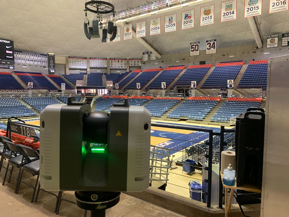
One primary method is that a laser scanner sends light pulses at high speeds which reflect off objects and return to the scanners’ sensor. For each pulse, the distance between the scanner and object is measured by determining the elapsed time between the sent and received pulses. Each point of the scan will be converted to a pixel with a known x-, y-, and z- coordinate. Laser scans or LiDAR scans are taken in multiple positions around a site from varying viewpoints. Millions of data points are captured and processed into a point cloud, creating an accurate data set of the structure or site.
What is a 3D BIM Model?
.svg)
A building information model (BIM) is a digital representation of the physical and functional characteristics of a building or infrastructure project. BIM stores all the information about a building's life cycle in one place, including design, construction, and operational data, which can be used for planning, renovation, and maintenance. It provides accurate spatial relationships and manufacturer details, as well as geographic information and other pertinent aspects of the building.
Why is a Point Cloud Important?
.svg)
Point clouds provide powerful and dynamic information for a project. By representing spatial data as a collection of coordinates, point clouds deliver large datasets that can be mined for information. The visualization and analysis from this data is invaluable for decision making. Our Product team transforms point clouds into customized drawings and models used for visualization, analysis, design, construction, renovation, prefabrication, and facility modifications.


